The kit behind the deliverable

What your deliverable has to achieve decides which sensor flies. Where we operate equipment through a partner rather than own it outright, this page says so.

Aircraft

Multirotor for detail and confined sites, fixed-wing VTOL for corridor and area coverage. Every airframe is type-certified and registered on the DGCA Digital Sky portal.

Survey Quadcopter (RTK)In service

Survey Quadcopter (RTK)

Primary mapping platform

Our workhorse for site-scale mapping. Integrated RTK positioning writes centimetre-accurate coordinates into every frame at the moment of capture, which is what allows us to reduce ground control to a validation role rather than a dependency.

Endurance
43 min (no wind)
Positioning
RTK / PPK, 1 cm + 1 ppm
Max wind resistance
12 m/s
Coverage per flight
Up to 90 ha at 3 cm GSD
Obstacle sensing
Omnidirectional
Transmission range
15 km (visual line of sight limited)
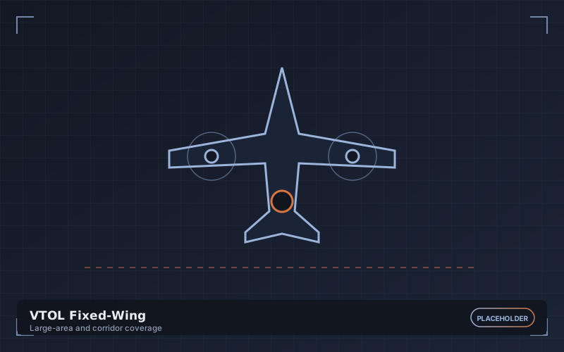
VTOL Fixed-WingIn service

VTOL Fixed-Wing

Large-area and corridor coverage

Vertical take-off with fixed-wing cruise efficiency. It launches from a clearing the size of a car park and then covers ground at several times the rate of a multirotor, which is what makes 400-hectare days and long corridor missions economic.

Endurance
90 min
Cruise speed
20 m/s
Coverage per flight
Up to 400 ha at 4 cm GSD
Corridor rate
25-30 km/day
Launch requirement
Vertical - no runway or catapult
Positioning
RTK / PPK
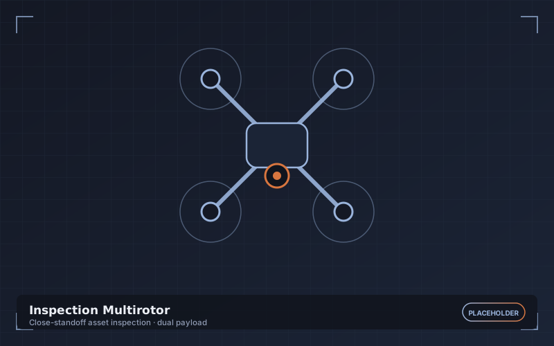
Inspection MultirotorIn service

Inspection Multirotor

Close-standoff asset inspection

A compact, highly manoeuvrable platform for working close to structures. Dual-payload capable so a visual and a thermal pass can be flown simultaneously rather than as two separate sorties.

Endurance
38 min
Minimum safe standoff
2 m
Payload options
Zoom, wide, thermal, laser rangefinder
Positioning hold
Vision-assisted, GNSS-denied capable
Spotlight
Yes, for shaded and internal work
IP rating
IP45

Cameras & Payloads

The deliverable specification decides which sensor flies. Mechanical shutters throughout, because a rolling shutter smears geometry at survey speeds.

45 MP Full-Frame Mapping CameraIn service

45 MP Full-Frame Mapping Camera

Primary survey payload

A full-frame sensor with a mechanical shutter and a calibrated fixed lens. Larger photosites mean cleaner data in the low-contrast light we often fly in, and the mechanical shutter keeps geometry rigid at cruise speed.

Resolution
45 MP (8192 x 5460)
Sensor
35.9 x 24 mm full-frame CMOS
Shutter
Mechanical, 1/2000 s
Lens
24 mm calibrated prime
GSD at 100 m
1.1 cm/px
Capture interval
0.7 s
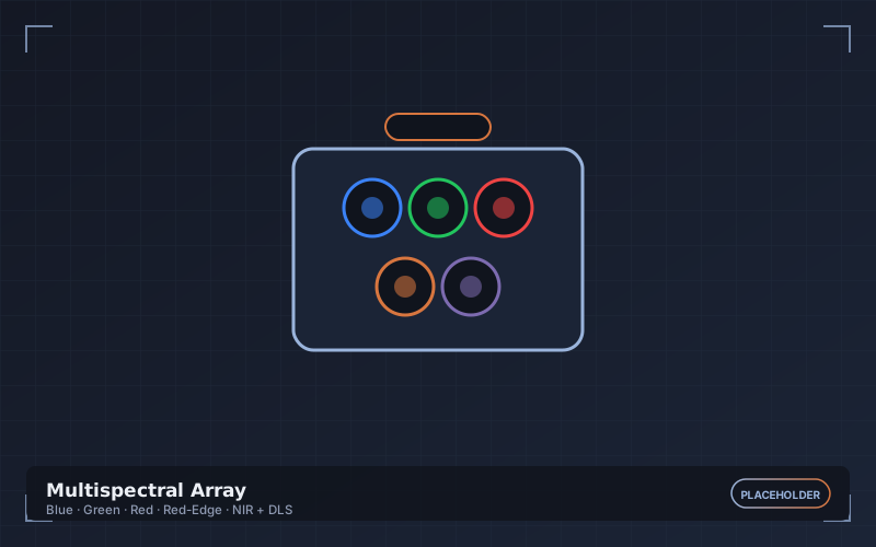
Multispectral ArrayIn service

Multispectral Array

Crop and vegetation analysis

Five discrete narrowband sensors plus an upwelling light sensor and reflectance panel. The calibration chain is the point: without it, index values cannot be compared between flights or seasons.

Bands
Blue, Green, Red, Red-Edge, NIR
Per-band resolution
2.1 MP
Radiometric calibration
DLS + reflectance panel
Indices supported
NDVI, NDRE, GNDVI, SAVI, OSAVI
GSD at 100 m
5.3 cm/px
RGB companion
Yes, co-registered
Radiometric Thermal SensorIn service

Radiometric Thermal Sensor

Thermal inspection and anomaly detection

Radiometric rather than merely thermal - every pixel carries an absolute temperature value, so anomalies can be quantified and compared between inspections instead of being judged by colour.

Resolution
640 x 512
Thermal sensitivity
< 50 mK
Accuracy
+/- 2 C or 2% of reading
Measurement range
-20 C to 550 C
Output
Radiometric R-JPEG and TIFF
Paired visual
12 MP co-aligned
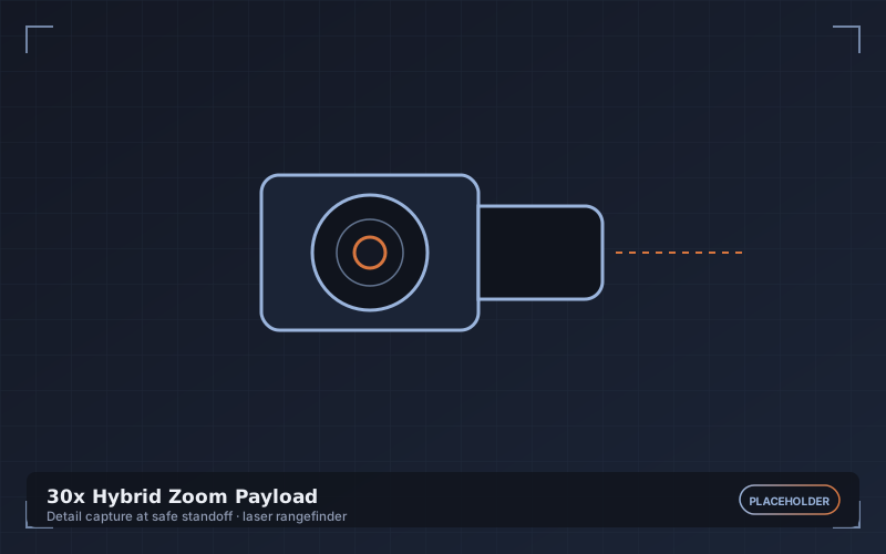
30x Hybrid Zoom PayloadIn service

30x Hybrid Zoom Payload

Detail capture at safe standoff

Lets the aircraft stay at a safe distance from an energised or fragile asset while still resolving fine defects, which matters as much for flight safety as for image quality.

Optical zoom
30x
Hybrid zoom
180x
Sensor
1/2 inch CMOS, 48 MP
Video
4K at 30 fps
Stabilisation
3-axis mechanical gimbal
Laser rangefinder
3-1200 m

LiDAR

Operated today through vetted equipment partners on a per-project basis, with an in-house sensor being commissioned. Processing, classification and QA are always performed in-house.

Survey-Grade UAV LiDARPartner operated

Survey-Grade UAV LiDAR

Canopy penetration and corridor mapping

Deployed through equipment partners so the sensor is matched to the job - canopy density, corridor length and required point density all push toward different hardware. Our classification and QA pipeline stays identical whichever unit flies.

Pulse rate
Up to 240 kHz
Returns per pulse
Up to 5
Range accuracy
+/- 2 cm
Field of view
70 - 360 degrees
Integrated IMU
Tactical grade
Typical density
80-400 pts/m2
In-House LiDAR UnitCommissioning

In-House LiDAR Unit

Commissioning

An owned sensor is being commissioned to shorten lead times on LiDAR projects and bring corridor mapping onto the same rapid-mobilisation footing as our photogrammetric work. Until it is validated against our accuracy standard, partner equipment remains the delivery route.

Status
Procurement and validation
Target point density
200+ pts/m2
Target accuracy
+/- 2 cm
Integrated RGB
Planned
Expected in service
Announced on commissioning
Interim route
Partner equipment, in-house processing

GNSS, RTK & Ground Control

Accuracy is a chain, and positioning is its first link. Every survey is tied to observed control and validated against check points that never enter the adjustment.

Multi-Constellation GNSS BaseIn service

Multi-Constellation GNSS Base

RTK corrections and PPK logging

Set over a known point or observed for a long static session, the base both broadcasts live corrections to the aircraft and logs raw observations for post-processed kinematic correction as a fallback.

Constellations
GPS, GLONASS, Galileo, BeiDou, NavIC
Channels
800+
RTK accuracy
8 mm + 1 ppm horizontal
Static accuracy
3 mm + 0.5 ppm
Correction link
Radio and NTRIP/CORS
Logging
Raw RINEX for PPK
GNSS Rover & Control TargetsIn service

GNSS Rover & Control Targets

Ground control and independent validation

Used to observe both ground control points that constrain the photogrammetric block and check points that are deliberately withheld from it. The check point residuals are what we publish as the accuracy statement.

Rover accuracy
8 mm + 1 ppm (RTK)
Tilt compensation
IMU-based, to 60 degrees
Targets
600 mm high-contrast checkerboard
Typical control density
5-9 GCP + 3-5 check points
Observation
180 epoch minimum per point
Datum handling
Local grid, UTM or project CRS

Flight Control & Ground Station

Automated mission planning, redundant flight control and a logged, auditable record of every sortie flown.

Redundant Flight ControllerIn service

Redundant Flight Controller

Autonomous mission execution

Triple-redundant IMU and dual barometer with independent power paths. Automated failsafes handle link loss, low battery and geofence breach without waiting for pilot input.

IMU redundancy
Triple
Barometers
Dual
Failsafes
RTH on link loss, low battery, geofence
Geofencing
Horizontal and vertical, per mission
Flight logging
Full telemetry, retained per sortie
NPNT compliance
Digital Sky compatible
Ground Control StationIn service

Ground Control Station

Mission planning and live monitoring

Missions are planned to a target GSD and overlap rather than to an altitude, so the flight parameters are derived from the deliverable specification. Live telemetry and coverage are monitored throughout and the log is archived with the project.

Planning modes
Grid, corridor, orbit, terrain-following, oblique
Terrain awareness
DEM-based altitude adjustment
Live monitoring
Telemetry, coverage, battery, link quality
Display
1000 nit, sunlight readable
Mission archive
Retained for repeat capture
Multi-battery missions
Automatic resume at breakpoint

Software Stack

Processing, analysis and delivery. We deliver in open, documented formats so your data is never hostage to a licence you have to keep renewing.

Photogrammetry Processing SuiteIn service

Photogrammetry Processing Suite

Aerial triangulation and dense reconstruction

Industry-standard structure-from-motion processing on GPU workstations, with every project producing a quality report covering reprojection error, control residuals and check point RMSE.

Outputs
Point cloud, mesh, DSM, DTM, orthomosaic
Quality reporting
Reprojection error, GCP and check point RMSE
Processing hardware
GPU workstations, 128 GB RAM
Typical block
3,000-8,000 frames
Coordinate systems
Full EPSG registry plus local grids
Geoid models
EGM2008 and project-specific
Point Cloud & LiDAR ToolkitIn service

Point Cloud & LiDAR Toolkit

Classification, surfaces and volumetrics

Where classification is refined by hand after the automated pass. This is the step that most affects a terrain model, and it is not one we leave entirely to an algorithm.

Classification
Automated plus manual refinement
Surface types
TIN, grid, breakline-constrained
Volumetrics
Design, previous-surface and best-fit basis
Formats
LAS/LAZ 1.4, E57, LandXML, DWG
Change detection
Cloud-to-cloud and surface differencing
Export
Civil 3D and Bentley compatible
GIS & Web Delivery PlatformIn service

GIS & Web Delivery Platform

Client access and collaboration

Deliverables are published to a browser-based viewer so the wider project team can measure, annotate and compare cycles without installing anything, while the underlying files remain available for download.

Client access
Browser, no install
Measurement
Distance, area, volume, elevation profile
Comparison
Swipe and side-by-side between cycles
Annotation
Shared markups and comments
Raw data
Always downloadable in open formats
Access control
Per-project, per-user permissions

A note on what we own

Plenty of survey companies list equipment they hire in for the job. We label ours: in service means it is on our asset register and flown by our pilots; partner operated means we bring in the right sensor for the project and keep the processing, classification and quality assurance in-house; commissioning means it is being procured and validated but is not yet delivering client work.

Ask which platform suits your site

Need a specific sensor or accuracy?

Tell us the deliverable specification and we will tell you which platform and payload meet it - including when the honest answer is that a ground survey would serve you better.

+91 97070 22699Chat on WhatsApp